StreetSlate.
Mobile app · Fieldwork & learning
A field-oriented app presentation combining route maps, lead-information forms, learning questions, and account screens.
Connect the route with the work around it.
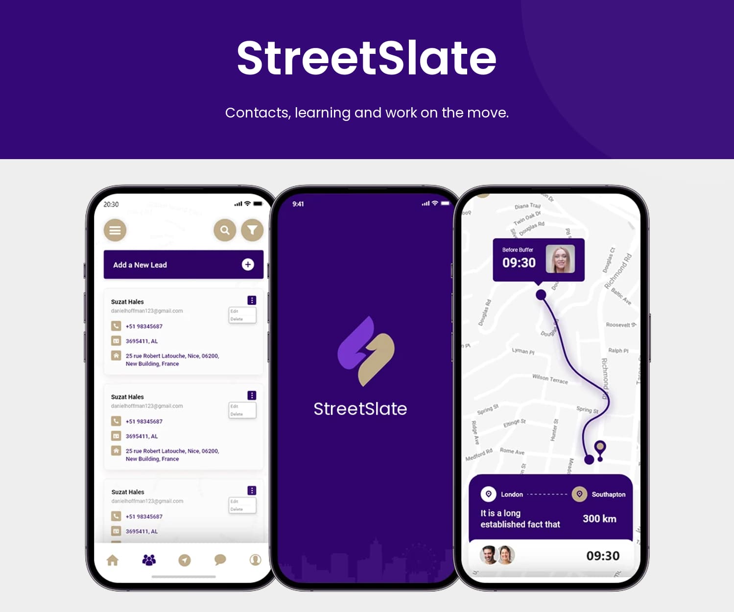
StreetSlate’ original screen set combines several field-oriented information patterns. A route map provides geographical context, a lead form groups work and contact details, and a question screen introduces a knowledge-check layout. The distinctive purple identity connects these different tasks, while each screen uses a layout suited to its information.
What it does
A field-oriented mobile presentation combining route maps, lead-information forms, learning questions, and activity-related screens.
Route maps
A geographical view connects displayed points with a contrasting route.
Lead-information fields
A dedicated form groups contact and work-related input areas.
Learning questions
Prompts and answer choices appear in a separate knowledge-check screen.
Account entry
A branded login view carries the purple identity into the workspace introduction.
How people use it
StreetSlate brings geographical context and structured work information into the same distinctive purple interface family.
- 01
Review the route
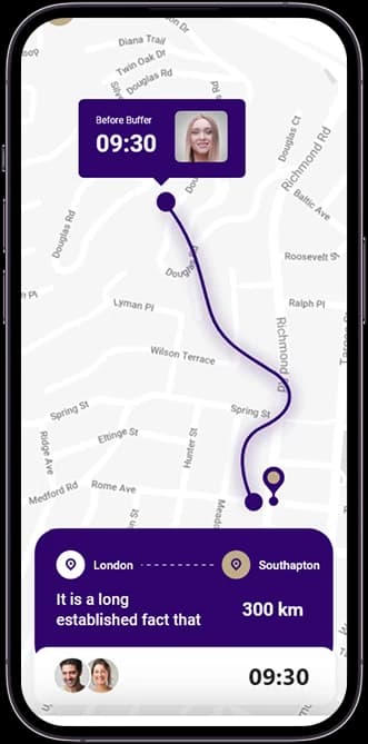
The map view connects displayed locations with a route and a compact supporting information panel.
- 02
Inspect a lead form
Labeled fields group contact and work-related information within the record-entry screen.
- 03
Explore the learning view
Question and answer layouts introduce a separate knowledge-check pattern in the original screen set.
Connect different kinds of field information.
Maps, lead fields, and learning questions have very different content shapes. StreetSlate uses a consistent purple identity while allowing each task to have its own focused layout.
A map with a clear route
A contrasting path gives the geographical screen a dominant visual thread.
Lead details in sequence
Grouped form fields provide a different, more structured reading pattern.
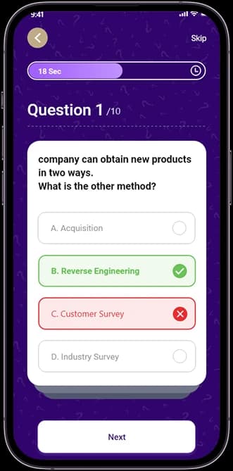
Questions with distinct answers
The learning screen separates its prompt from the available answer choices.
How it's put together
Design direction
Deep purple contrasts with pale maps, white form panels, and clearly separated question choices. A strong route line leads the geographical view, while the form and quiz screens use more contained vertical groups. Repeated accent colors provide continuity across the different content types.
Technical perspective
Task-specific views within one mobile system.
The source distinguishes maps, record entry, questions, and account access as separate interface states. Repeated accent colors and navigation connect those views without forcing geographic, form-based, and learning content into the same component pattern.
Inside StreetSlate
Select any screen for a closer look.
Planning something similar?
Connecting field tasks in one product? Let's give maps, records, and learning information the right interface for each job.
Get a free consultation
Tell us what you need. A senior engineer replies within one working day.